By: Abby Bezrutczyk
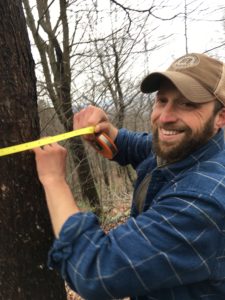
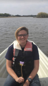
Taking a birds-eye view with satellite data, Dr. Andrew Reinmann and PhD student Kelsey Parker are developing new ways to track invasive species in New York. From remote sensing, to invasive species interactions, to field assessments, NYISRI was fortunate to hear more about the great research their team is working on.
What kinds of research questions related to invasive species are you currently asking?
We want to determine whether freely available remote sensing data is a viable option to monitor the occurrence of invasive trees and forest pests. We are also interested in understanding interactions of invasive species across kingdoms. For example, we will be assessing whether the presence of invasive tree species such as the Norway maple tree can enhance establishment of other invasive species such as Asian jumping worms, and vice versa. Finally, we are characterizing the role of “invasiveness” in the forest canopy (i.e. dominated by native or non-native species) on the tree species composition of the understory trees.
What are the basic methods you are using to answer your research questions?
This project aims to use freely available satellite remote sensing data to monitor invasive insects, fungi, and trees across the Lower Hudson Valley and NYC (i.e. DEC Regions 2 & 3). Our end goal is to produce maps and datasets characterizing the spatiotemporal distribution the invasive tree species such as Norway maple and black locust– this would help show the decline of trees from invasive pests like emerald ash borer, gypsy moth, hemlock wooly adelgid, and oak wilt. The project uses remote sensing-derived vegetation indices (e.g., “greenness”) to either measure decline in tree health from invasive pests, or to pick out tree canopies dominated by invasive species. We can pick out the invaded areas based on differences in their leaf-out and/or leaf-off phenology compared to our native tree species. For example, Norway maple tends to leaf-out more than 10 days earlier than our native tree species and we can detect this from satellite imagery.
We will also be doing field assessments to validate our findings and conduct field experiments to assess the ecological feedbacks between non-native trees and invasive earthworms, and characterize the impacts these invasive species have on soil properties like storage of carbon and nitrogen.
Do you have a personal story or path that led to your interest in this research?
Parker: Living and working in an urban area such as New York, it’s difficult not to think about invasive species and their impacts on ecosystems.
Reinmann: I have been studying the impacts of forest fragmentation, urbanization, and climate change on forest ecosystems and their capacity to remove carbon from the atmosphere for ~15 years now. Having grown up in the Lower Hudson Valley and now working and teaching field ecology in New York City, I have spent a lot of time in forests that have been heavily altered by the presence of invasive species. Personally, it has been heart-wrenching to see the forests that made me passionate and endlessly curious about the natural world during my teenage years get heavily altered by invasives and lose species like ash and hemlock and gain new ones like tree-of-heaven, bittersweet, and earthworms. Including these organisms in my research that is broadly focused on understanding the impacts of global environmental change on forest carbon cycling seems like a logical next step in our research. This project gave us a perfect opportunity to better understand this problem and hopefully contribute to a solution.
What’s the most important thing about your research for managers and policy makers to know?
Our research can provide a valuable approach for near-real-time and affordable tracking of invasive species. Using free data could leave more resources for ground control methods. Also, using remote sensing with data covering the globe provides insight into the greater species movement patterns, without running into the limitation of field accessibility. The long temporal record of many of these satellite remote sensing products can additionally allow us to go back in time to better understand the timing of establishment and spread of invasive species. We think this sort of knowledge can improve the ability of managers and policy makers to develop more effective approaches for containing invasive species and minimizing their ecological and economic impacts.
What do you hope the long-term impact of your work will be?
We hope that this work will provide methods that could be used by a wide range of land managers and other stakeholders to trace infestations, and provide insight to the larger spatiotemporal patterns of outbreaks in a way that is not possible using ground methods. We want the use of free data to allow more resources to be allocated to the control of invasive species outbreaks instead of costly tracking methods. We also hope that by elucidating linkages in the ecology of different invasive species across kingdoms, we’ll provide a more holistic way of viewing the likely complicated ways these species interact to alter ecosystems.


